|
Saltford Environment Group
|

The top of Saltford High Street at the junction with Beech Road - the start of Saltford's Conservation Area
|
SEG Home > History of Saltford > A - Z > Walks of Saltford Walks of SaltfordOn this page you can access our history walks of Saltford. These are online guides where you can follow a web page for directions or print off your own pdf version of each walk. We also highlight and link to useful guided walks of Saltford produced by other organisations. Walks from SEG's History of Saltford ProjectIf you have any comments or observations to help improve our history walks please contact Andrew Stainer andrew.stainer@btinternet.com. Scroll down the page to see the self-guided walks. Walk 1 - River Avon U Bend
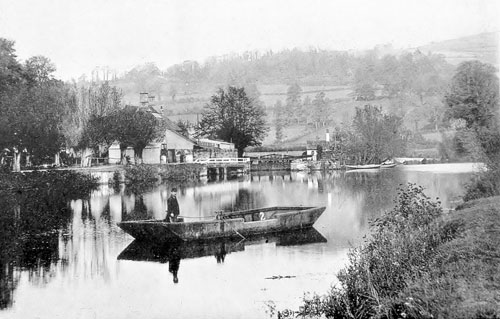
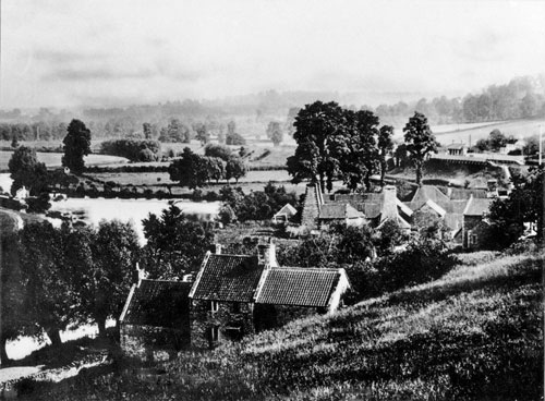
A scenic walk through farmland and round the U bend of the River Avon, passing Swineford Lock, Saltford Mead, and Saltford Lock. Click here for: Walk One >> Walk 2 - Norman Road, northern footpaths and the fish ponds
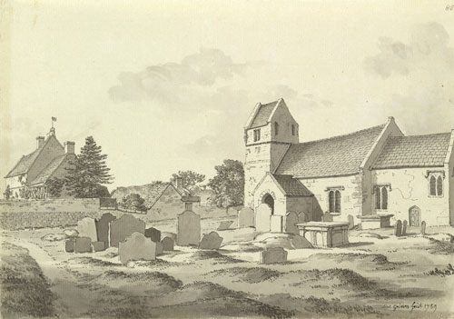
A walk round the fields to the north of the village, taking in the recreation ground, medieval fish ponds and St Mary's Church. Click here for: Walk Two >> Walk 3 - Longwood and a Roman dwelling site
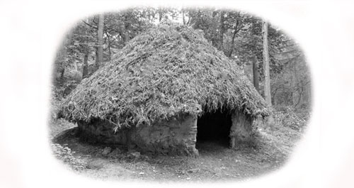
This easy walk explores the southern slopes above Saltford, with a pleasant walk through a wood and then a downhill walk through fields with wonderful views to the north. The walk takes you through the heart of an area which was almost certainly inhabited by the Romans. You return through the many hidden footpaths that link the residential areas south of the A4. Click here for: Walk Three >> Walk 4 - Manor Road Community Woodland and an old road to Keynsham
This easy walk explores part of the boundary between Saltford and Keynsham parishes, following an ancient pathway that was probably the predecessor to the A4, and passing through Manor Road Community Woodland. Click here for: Walk Four >> Walk 5 - Village footpaths, Brass Mill and The Shallows
A short walk round the hidden footpaths in Saltford Village, taking in the Brass Mill and The Shallows, and with lovely views over the river to Kelston Round Hill. Click here for: Walk Five >> Walk 6 - Railway path and the Saltford Straight (River Avon)
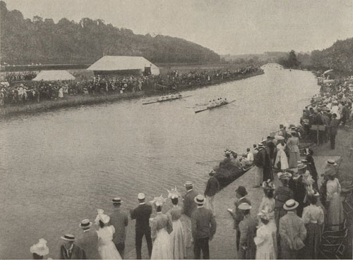
This easy walk heads out towards Bath along the railway path, and back along the path beside the 'Saltford Straight', the dead straight stretch of the River Avon that has been used for over 150 years for rowing regattas. There is a bit of a scramble down from an embankment at one stage. A good walk for birdwatchers! Click here for: Walk Six >> Walk 7 - Swineford and Kelston Mills
This walk takes you out of the parish bounds, much of it on the opposite side of the River Avon, and with the opportunity to visit the historic hamlets of Swineford and Kelston Mill. This walk involves a stretch along the pavement by the busy A431, and is therefore unsuitable for smaller children. Click here for: Walk Seven >> Walk 8 - Saltford's Conservation Area
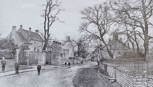
This walk explores the old village of Saltford that makes up the Saltford Conservation Area. Within this area there are over 20 listed buildings. Click here for: Walk Eight >> Walking through Saltford's Geological Past
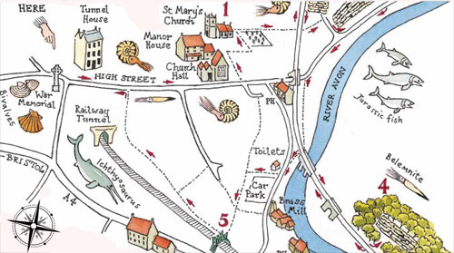
A circular geology trail walking guide has been produced in 2021 for Saltford so that residents and visitors can explore the local geology for themselves. Produced by Simon Carpenter and supported by the Geologists' Association Curry Fund, the descriptive walking guide can be downloaded below as a pdf and is also available as a handy full colour printed guide at just £1 a copy from Saltford Community Library & Shop (visit this link for opening times etc.) or, when it is open, from Saltford Heritage Centre.
'Saltford South' landscape walk
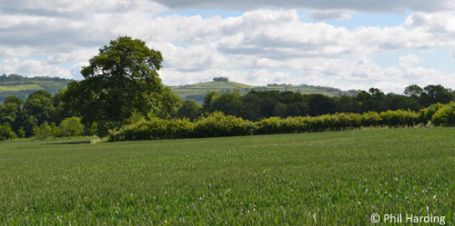
This walk explores most of the beautiful southern slopes of Saltford, with a pleasant walk through a wood and then on up through fields with wonderful surrounding views - including the ability to see the Cotswolds, the Forest of Dean and the Welsh Hills from one vantage point. It includes a downhill walk through the heart of an area which was once farmed by the Romans. Click here to download SEG's 'Saltford South' walk guide (includes map):-
Walks from other organisationsRiverside Heritage Walks - Two Brass Mills Circular WalkStarts and ends at Saltford Brass Mill. Click here for: Two Brass Mills Circular Walk (pdf on B&NES Council website) River Avon TrailA path along the River Avon through Bristol and Bath. Click here for: River Avon Trail (external site) - includes downloadable guides with practical information for walkers, cyclists, horse riders, wheelchair and pushchair users. Cotswolds enterprise walkThis walk from the Royal Geographical Society and its "Discovering Britain" series starts at Saltford Brass Mill, goes up to Kelston Round Hill and ends at The Bird in Hand public house. It was created by SEG's Dick Bateman. This walk follows a fascinating story of enterprise. You can discover how people constantly created new opportunities to exploit the landscape, in order to earn a living. Click here for: Cotswolds enterprise walk (external site).
© Saltford Environment Group
|
Page Links:-'Saltford's Geological Past' walk 'Saltford South' landscape walk Walks from other organisations Also see:-TIMELINE (300 BC to the modern age)
|

